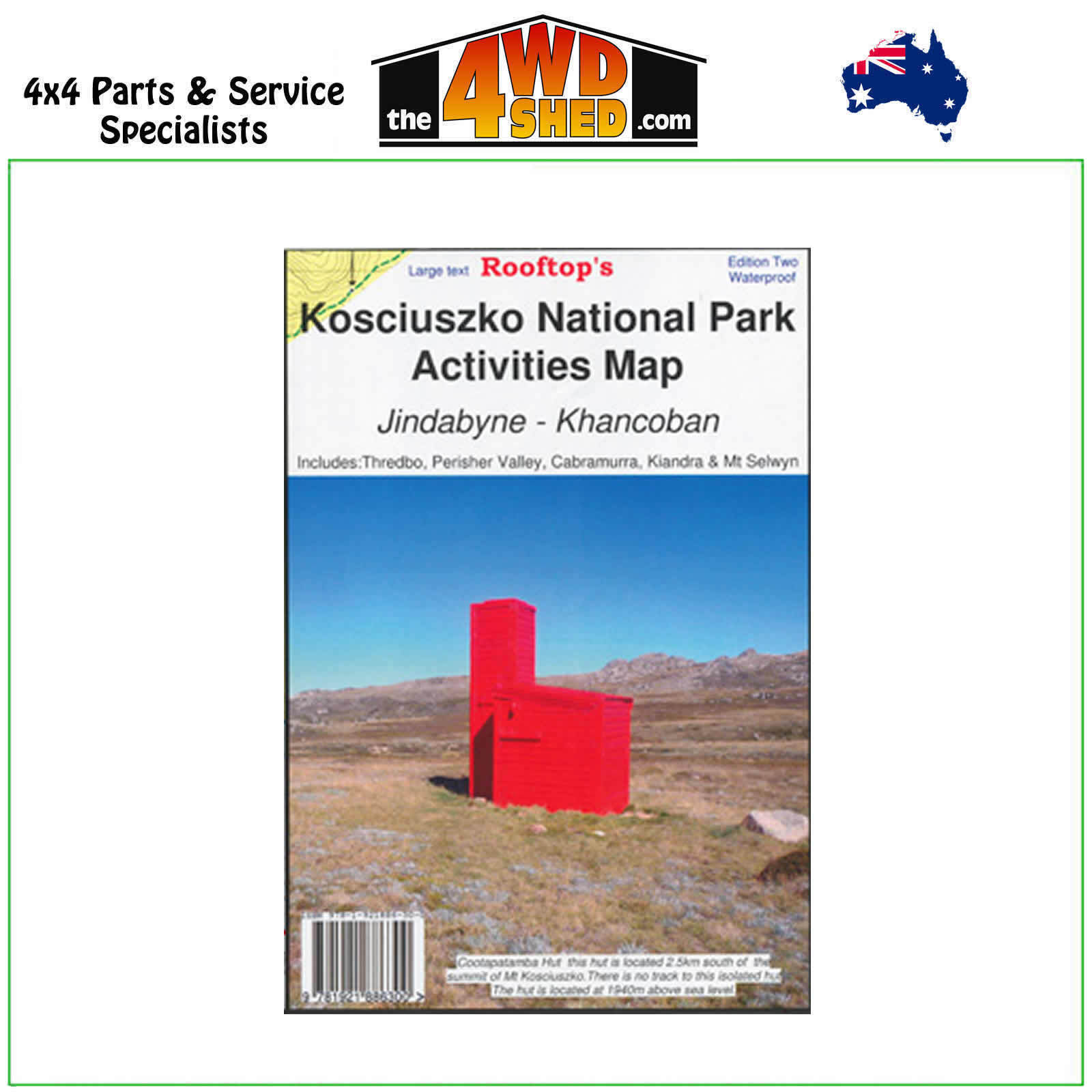
Kosciuszko National Park Rooftop Map

 More info
Kosciuszko National Park Rooftop Map
2nd Edition 2022 - Waterproof
Topographical Maps are used for Walking, 4WD, Fishing, Camping, Motorcycle, both On and Off Road, Gold Prospecting and for those simply going for a family weekend drive.
Though moving into an age of GPS & digital maps, paper maps provide a great back up & being more accessible for a group to plot a day out on the tracks.
Ideal for bushwalking
Coverage includes Mt Koscuizko Thredbo, Charlottes Pass, Perisher Valley, Tom Groggin, Guthega, Geehi, Cabramurra, Kiandra, Selwyn Snowfields, Jagungal Wilderness, Khancoban, Jindabyne, Indi Wilderness, Opera House Hut, Olsens Lookout, Bourkes Gorge Falls and Tunnell, Dr Forbes Hut, Western Falls Wilderness, Geehi Rest Area, Tom Groggin Rest Area, Main Range Walk, Leatherbarrel Camping and Picinic Area, Smiggins, Verandah Camp, Whites River Hut, Blue Cow Mountain, Geehi Reservoir, Grey Mare Mountain, Bullocks Flat, Botherum Hut, Sawpit Creek, Tin Hut, Part of the Australia Alps Walking Track, Porcupine Rocks, Thredbo Diggings Camping Area, Most of Lake Eucumbene, Anglers Rest, Braemar Bay Caravan Park, Providence Portal,
Detail includes roads, tracks, walking tracks, watercourses, bush huts, contours.
Scale: 1:50,000
Please Note: These maps are provided as a guide only. You are responsible for being aware of track closures, changes to track accessibility & access guides. Please visit the Parks Victoria website to check before planning your next journey.
(718122666751W)
| SKU | 718122666751W |
| Barcode # | 689076913669 |
| Brand | Rooftops |
| Shipping Weight | 0.1000kg |


