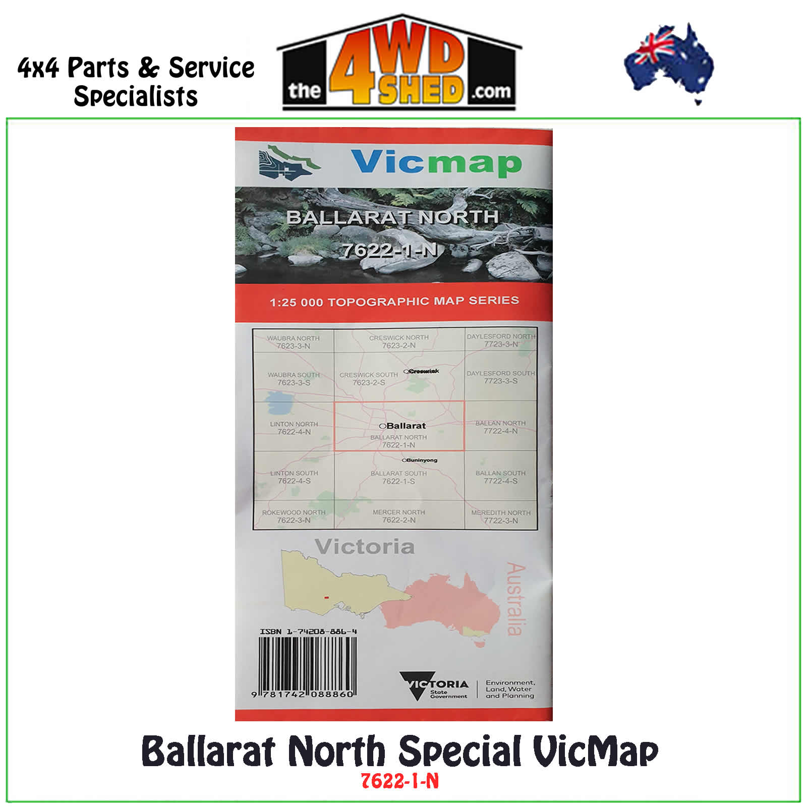

Ballarat North Special VicMap 1:25 000 Topographic Map Series

 More info
Ballarat North Special Topographical Map 1:25 000
Topographical Maps are used for Walking, 4WD, Fishing, Camping, Motorcycle, both On and Off Road, Gold Prospecting and for those simply going for a family weekend drive.
Though moving into an age of GPS & digital maps, paper maps provide a great back up & being more accessible for a group to plot a day out on the tracks.
This is a new series of 1-25,000 scale maps, all of Victoria is now covered by these maps, including maps over the South Australian and NSW Borders.
Topographical maps show not only Contours of the Terrain but Walking Tracks, Sealed and Unsealed Roads, Rivers, Creeks, Lakes, Historical Points of Interest, Old Mine Sites and National and State Park areas.
Map Features:
- Ballarat Township
- Mt Clear
- Mt Warrenheip
- Smythes Creek
Please Note: These maps are provided as a guide only. You are responsible for being aware of track closures, changes to track accessibility & access guides. Please visit the Parks Victoria website to check before planning your next journey.
ISBN: 1-74208-886-4
(9781742088864)
| SKU | 9781742088864 |
| Barcode # | 9781742088884 |
| Brand | Vicmap |
| Shipping Weight | 0.1000kg |


