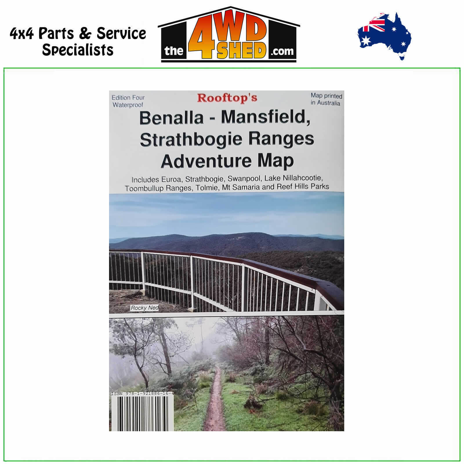

Benalla Mansfield Strathbogie Ranges Adventure Map

 More info
Benalla Mansfield Strathbogie Ranges Adventure Map
Fourth Edition 2021
Topographical Maps are used for Walking, 4WD, Fishing, Camping, Motorcycle, both On and Off Road, Gold Prospecting and for those simply going for a family weekend drive.
Though moving into an age of GPS & digital maps, paper maps provide a great back up & being more accessible for a group to plot a day out on the tracks.
Including Strathbogie, Toombullup, Lake Nillahcootie, Mount Samaria, Mount Wombat, Reef Hills, Mount Strathbogie, Euroa, Bonnie Doon, Swanpool, Tolmie, Euroa, Murchison Avenel, Seymour, Murchison, Violet Town, Benalla, Bonnie Doon, Maindample, Tatong, Glenrowan, Broken River, Kelvin View, Boho, Mt Barranhet, Warrenbayne, Mt Seldomseen, Lima, Mt Lindsay Track
The reverse of the map has the complete Strathbogie Forest Activities Map, which is a 1:50,000 scale enlargement with contours of the forest portion of the main map.Symbols include caravan, camping, bush huts, boat ramps, picnic areas, lookouts, fishing spots, public phones, fuel, mines and relics and more.
- Scale: 1:50 000 map
- Printed both sides
- Suitable for use with GPS
- Extensive 4wd tracks coverage
- Ideal for camping, touring, motorbiking, 4WD & boating
- Walking tracks and campsites
- Colour with contours & notes
Please Note: These maps are provided as a guide only. You are responsible for being aware of track closures, changes to track accessibility & access guides. Please visit the Parks Victoria website to check before planning your next journey.
ISN : 9781921886164
(9781921886164)
| SKU | 9781921886164 |
| Barcode # | 9781921886164 |
| Brand | Rooftops |
| Shipping Weight | 0.1000kg |


