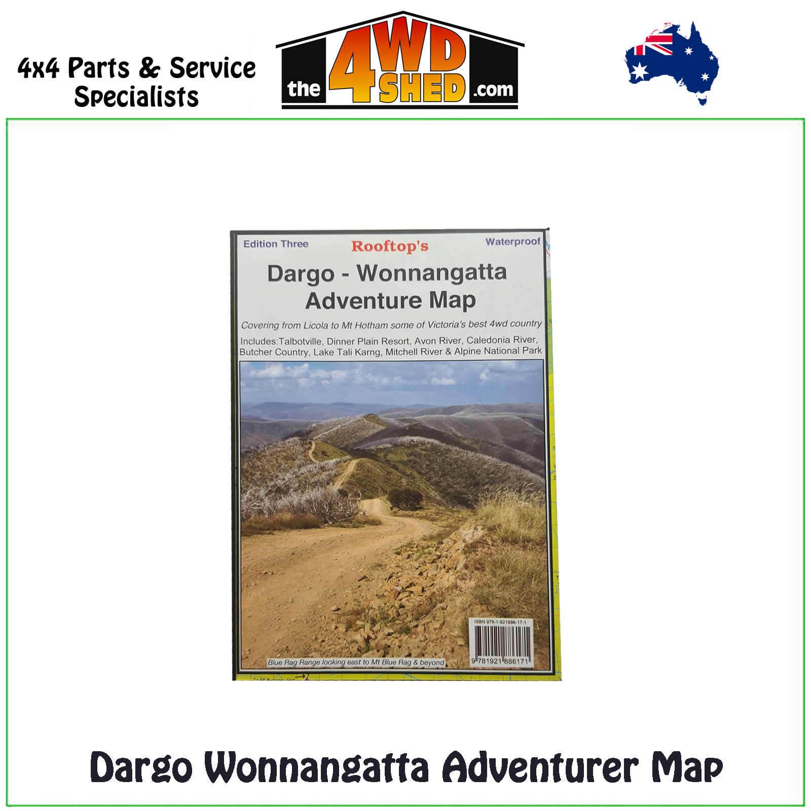
Dargo Wonnangatta Adventure Map 1:100 000

 More info
Dargo Wonnangatta Adventure Map 1:100 000 *Waterproof
Third Edition
Map coverage is from Licola to Mount Hotham and from Briagolong to the Buckland Valley and everything in between including access routes into Wonnangatta Station, the Crooked River goldfields, Upper Dargo goldfields and Mitchell River National Park.
As well as detailed road and track information, there are lots of useful tips and warnings noted agains various tracks. In the heart of the Victorian High Country, Rooftop Maps are a must for 4WD driving, walkers & horse riders.
Scale is 1:100,000. The reverse side has a 1:50,000 scale enlargement titles Dargo - Howitt Plains Forest Activities Map providing more detail for Wonnangatta valley, Crooked River and the Howitt Plains near Licola.
Please Note: These maps are provided as a guide only. You are responsible for being aware of track closures, changes to track accessibility & access guides. Please visit the Parks Victoria website to check before planning your next journey.
ISN : 978-1-921886-06-5
(9781921886171)
| SKU | 9781921886171 |
| Barcode # | 9781921886065 |
| Brand | Rooftops |
| Shipping Weight | 0.1000kg |


