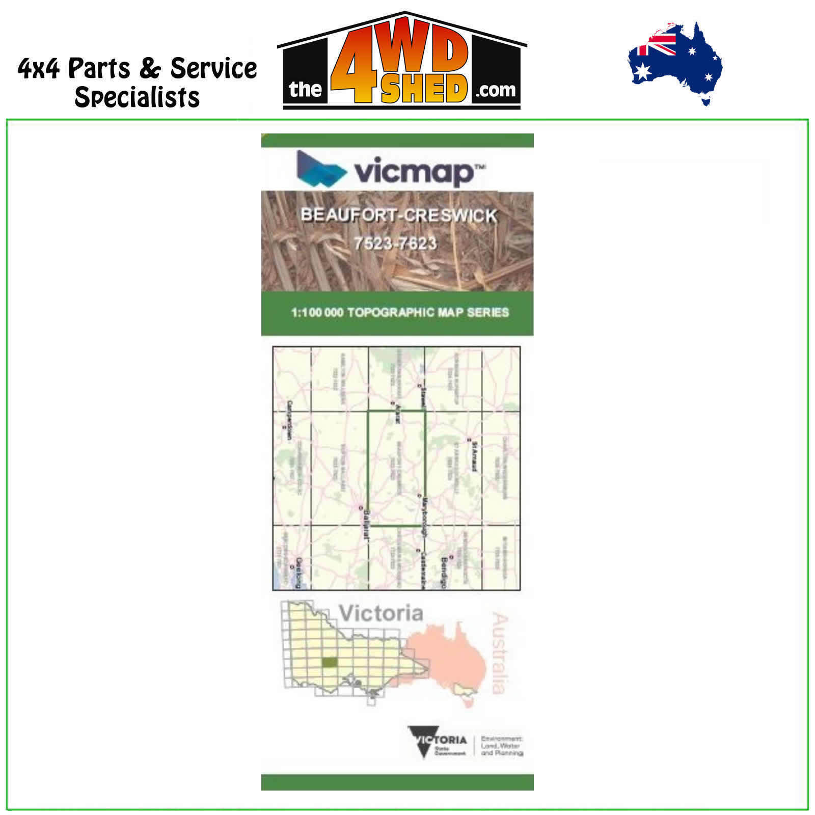


Beaufort Creswick VicMap 1:100 000 Topographic Map Series 7523-7623

 More info
Beaufort Creswick 7523-7623 Topographical Map 1:100 000
Topographical Maps are used for Walking, 4WD, Fishing, Camping, Motorcycle, both On and Off Road, Gold Prospecting and for those simply going for a family weekend drive.
Though moving into an age of GPS & digital maps, paper maps provide a great back up & being more accessible for a group to plot a day out on the tracks.
This is 1:100 000 scale map, with enlargements of specific areas..
Topographical maps show not only contours of the terrain but walking tracks, sealed and unsealed roads, rivers, creeks, lakes, historical points of interest, old mine sites and National & State Park areas.
Map Features:
Beaufort, Creswick, Avoca, Landsborough, Crowlands, Mount Boswell, Mount Cole Creek, Mount LANGI GHIRAN, LANGI GHIRAN STATE PARK, Buangor, Tatyoon North, Shirley, Raglan, Mount Buangor State Park, Raglan, Mount Lonarch, Elmhurst, Glenpatrick, Warrenmang, Lamplough, Amphitheatre, Lexton, Ben Major, Trawalla, Burrumbeet, Mount Bolton, addington, Evensford, Burnbank, Amhurst, Lillicur, Bung Bong, Maryborough, Clunes, Mount Hollowback, Mount Blowhard, Miners Rest, Newlyn, Allendale, Smeaton, MOUNT KOOROOCHEANG, MOUNT MOOROOKYLE, Campbelltown, Strathlea, Cian Curran Reservoir, Kangaroo Hill
Please Note: These maps are provided as a guide only. You are responsible for being aware of track closures, changes to track accessibility & access guides. Please visit the Parks Victoria website to check before planning your next journey.
ISBN: 1-74287-026-0
(7523-7623)
| SKU | 7523-7623 |
| Model # | 7723-7823 |
| Barcode # | 9781742870267 |
| Brand | Vicmap |
| Shipping Weight | 0.1000kg |


