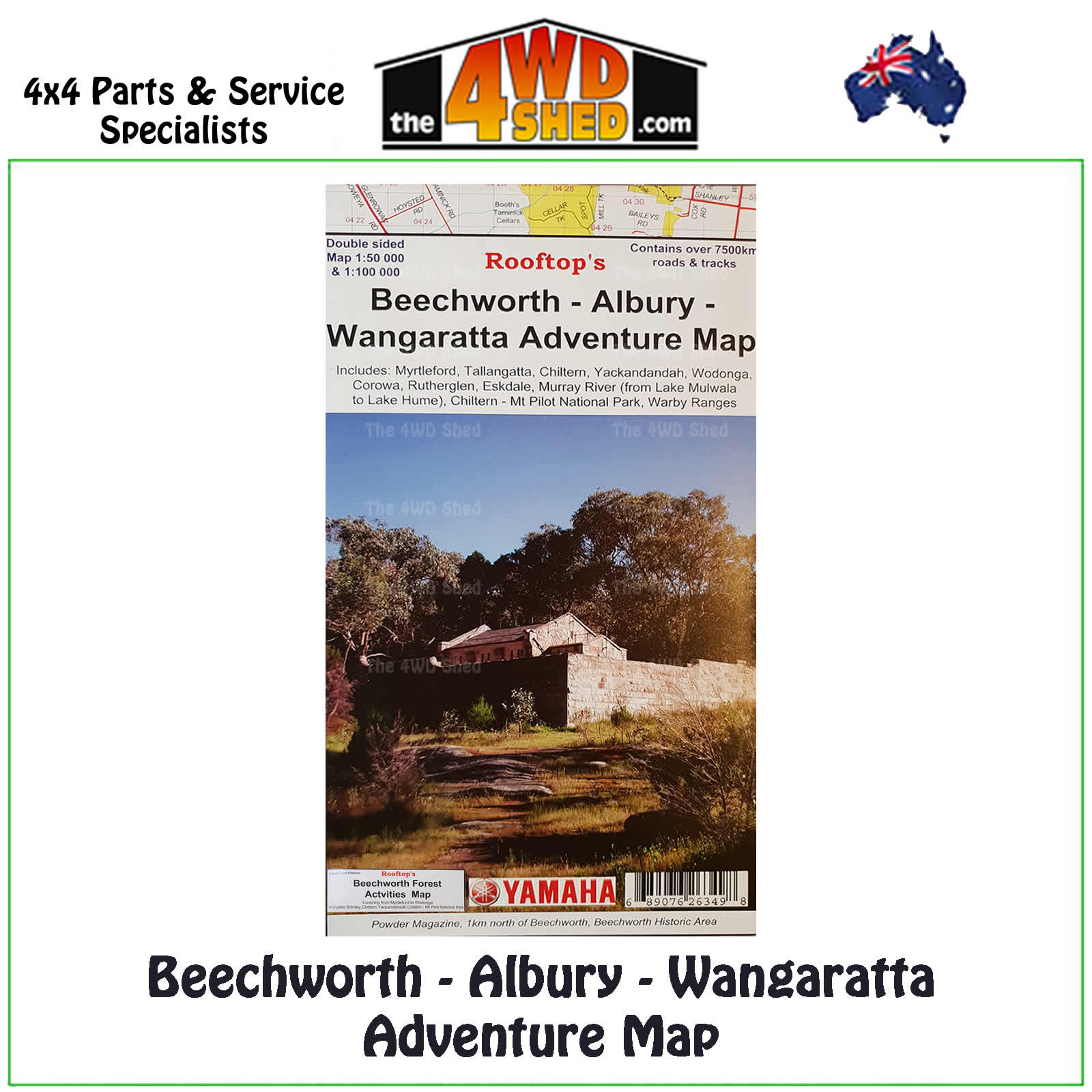

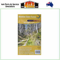
Beechworth Albury Wangaratta Adventure Map 1:100 000

 More info
Beechworth Albury Wangaratta Adventure Map 1:100 000
Explore the Murray Valley and North East Victoria with this map containing over 7500km of roads & tracks.
Map coverage is from Rutherglen to Hume Weir and Tallangatta in the north and from Wangaratta to Myrtleford and Eskdale in the south. Beechworth is positioned approximately in the centre. Also a small inset of the Warby Ranges
Also contains the Beechworth Forest Activities Map covering from Myrtleford to Wodonga. Includes Stanley, Chiltern, Yackandandah, Chiltern - Mt Pilot National Park
Topographical Maps are used for Walking, 4WD, Fishing, Camping, Motorcycle, both On and Off Road, Gold Prospecting and for those simply going for a family weekend drive.
Though moving into an age of GPS & digital maps, paper maps provide a great back up & being more accessible for a group to plot a day out on the tracks.
- Scale: 1:100 000 main map
- Scale 1:50 000 reverse map
- Printed both sides
- Suitable for use with GPS
- Extensive 4wd tracks coverage
- Ideal for camping, touring, motorbiking, 4WD & boating
- Walking tracks and campsites
- Colour with contours & notes
Please Note: These maps are provided as a guide only. You are responsible for being aware of track closures, changes to track accessibility & access guides. Please visit the Parks Victoria website to check before planning your next journey.
ABN : 689076263498
(689076263498)
| SKU | 689076263498 |
| Barcode # | 689076263498 |
| Brand | Rooftops |
| Shipping Weight | 0.1000kg |


