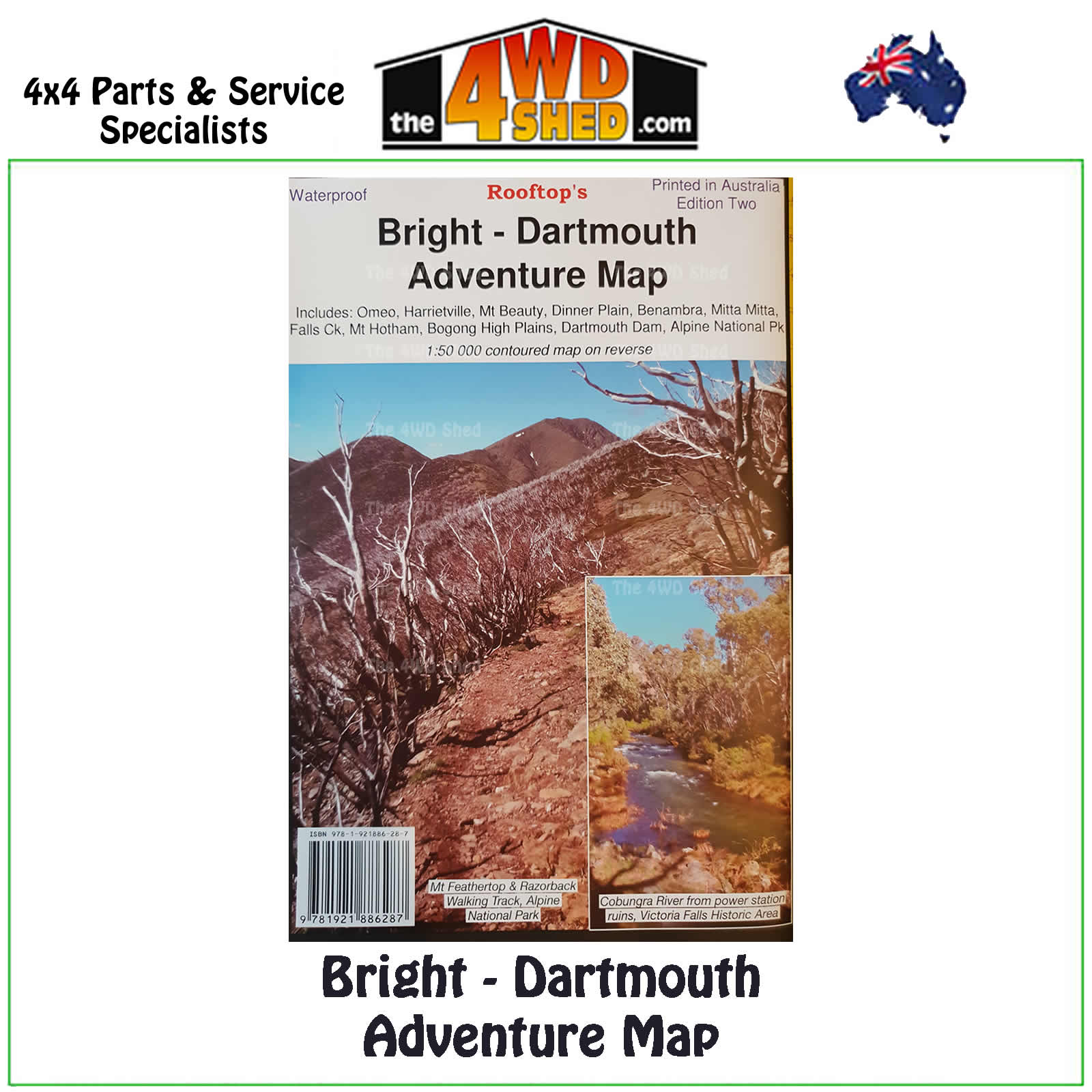

Bright Dartmouth Adventure Map 1:100 000

 More info
Bright Dartmouth Adventure Map 1:100 000 *Waterproof
Second Edition 2018
Topographical Maps are used for Walking, 4WD, Fishing, Camping, Motorcycle, both On and Off Road, Gold Prospecting and for those simply going for a family weekend drive.
Though moving into an age of GPS & digital maps, paper maps provide a great back up & being more accessible for a group to plot a day out on the tracks.
The Highest of the High Country is now here.....includes Omeo, Victoria Falls, Dinner Plain, Falls Creek, Mount Feathertop, Falls Creek, Harrietville, Bright, Mount Beauty, Dederang, Mitta Mitta, Lake Dartmouth, Glen Valley, Anglers Rest, Benambra etc.
Pictorial inset on the bush huts of the Bogong - Hotham region.
A 1:50,000 scale Forest Activities Map of the Bogong, Bright & Mount Hotham Region fills the entire reverse side.
Printed on waterproof paper.
Scale is 1:100 000 with contours, points of interest, photos etc
- Scale: 1:100 000 map
- Printed both sides
- Waterproof Paper
- Suitable for use with GPS
- Extensive 4wd tracks coverage
- Ideal for camping, touring, motorbiking, 4WD & boating
- Walking tracks and campsites
- Colour with contours & notes
Please Note: These maps are provided as a guide only. You are responsible for being aware of track closures, changes to track accessibility & access guides. Please visit the Parks Victoria website to check before planning your next journey.
ISN : 978-1-921886-28-7
(9781921886287)
| SKU | 9781921886287 |
| Barcode # | 9781921886287 |
| Brand | Rooftops |
| Shipping Weight | 0.1000kg |


