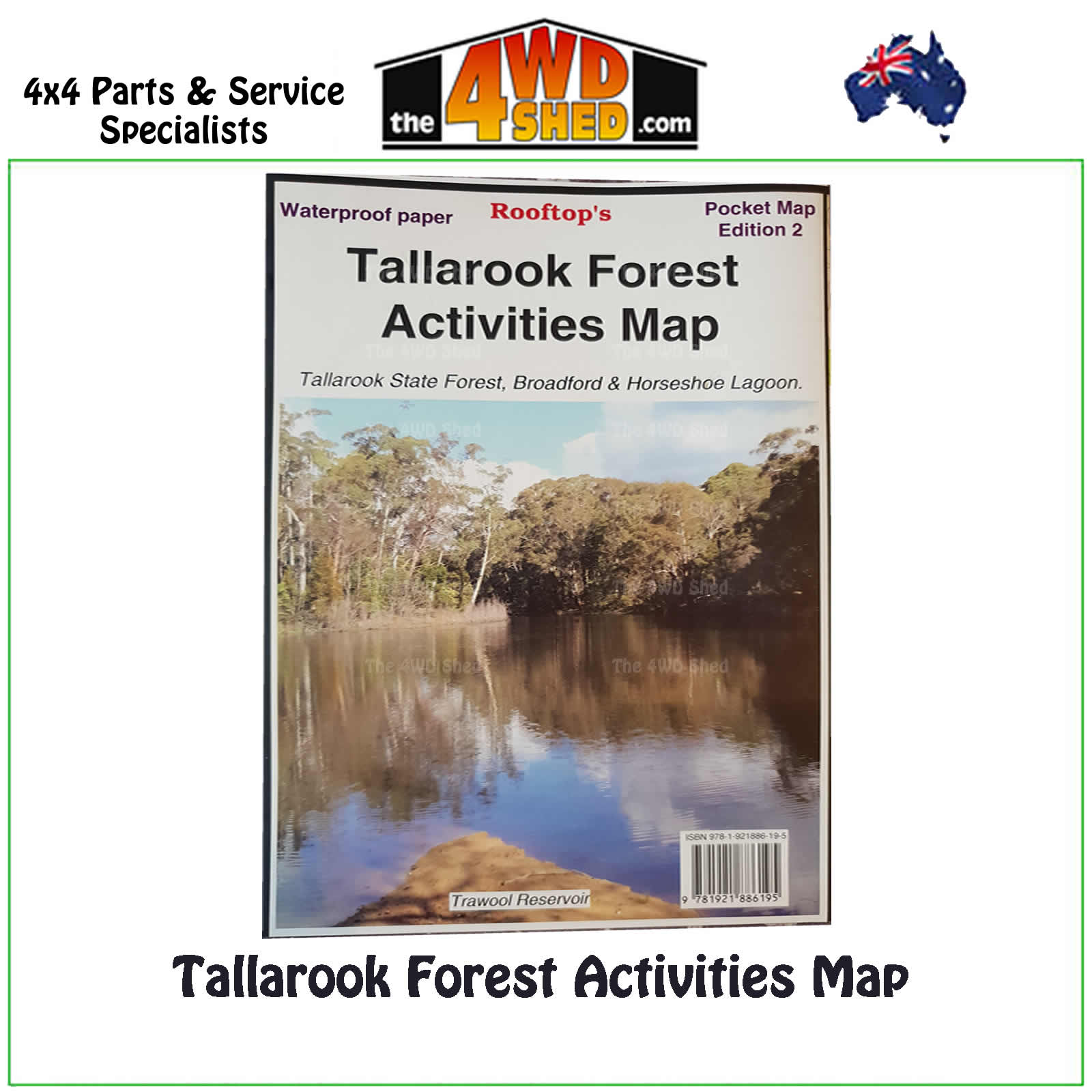

Tallarook Forest Activities Map 1:50 000

 More info
Tallarook Forest Activities Map
Pocket Map Waterproof December 2014 Edition
Topographical Maps are used for Walking, 4WD, Fishing, Camping, Motorcycle, both On and Off Road, Gold Prospecting and for those simply going for a family weekend drive.
Though moving into an age of GPS & digital maps, paper maps provide a great back up & being more accessible for a group to plot a day out on the tracks.
Coverage includes Tallarook State Forest, Mount Hickey, Warragul Rocks, Falls Creek Reservoir, Horseshoe Lagoon (Goulburn River), Freemans Camp.
Facility symbols include Camping Areas, Picnic Areas, Fishing Spots & Fire Towers.
The 1:50 000 scale map includes roads, vehicle, motorcycle & walking tracks; contours, elevations & GPS co-ordinates.
- Scale: 1:50 000 map
- Coverage of Tallarook State Forest, Mount Hickey, Warragul Rocks, Falls Creek Reservoir, Horseshoe Lagoon, Freemans Camp
- Updated: 2014
- Single sided waterproof
- Suitable for use with GPS
- Extensive 4wd tracks coverage
- Ideal for camping, touring, motorbiking, 4WD & boating
- Walking tracks and campsites
- Colour with contours & notes
Please Note: These maps are provided as a guide only. You are responsible for being aware of track closures, changes to track accessibility & access guides. Please visit the Parks Victoria website to check before planning your next journey.
ISN : 9781921886195
(9781921886195)
| SKU | 9781921886195 |
| Barcode # | 9781921886195 |
| Brand | Rooftops |
| Shipping Weight | 0.1000kg |


