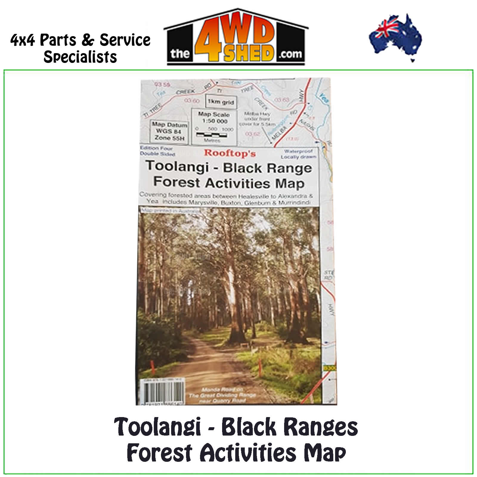

Toolangi Black Range Forest Activities Map 1:50 000

 More info
Toolangi Black Range Forest Activities Map 1:50 000 *Waterproof
Fourth Edition 2015
Topographical Maps are used for Walking, 4WD, Fishing, Camping, Motorcycle, both On and Off Road, Gold Prospecting and for those simply going for a family weekend drive.
Though moving into an age of GPS & digital maps, paper maps provide a great back up & being more accessible for a group to plot a day out on the tracks.
Coverage includes Toolangi, Murrindindi, Buxton, Narbethong, Wilhelmina Falls, Stanleys Homestead, Alexandra, Taggerty, Molesworth, Glenburn, Limestone, Cheviot Tunnel.
Facility symbols include Camping area, Caravan Parks, Picnic areas, Fishing spots, Lookouts, Fuel & Fire Towers.
The 1:50 000 scale map also includes roads, vehicle, motorcycle & walking tracks, contours, elevations & GPS co-ordinates in this new waterproof edition map.
- Scale: 1:50 000 map
- Printed both sides
- Waterproof Paper
- Suitable for use with GPS
- Extensive 4wd tracks coverage
- Ideal for camping, touring, motorbiking, 4WD & boating
- Walking tracks and campsites
- Colour with contours & notes
Please Note: These maps are provided as a guide only. You are responsible for being aware of track closures, changes to track accessibility & access guides. Please visit the Parks Victoria website to check before planning your next journey.
ISN : 978-1-921886-14-0
(9781921886140)
| SKU | 9781921886140 |
| Barcode # | 9781921886140 |
| Brand | Rooftops |
| Shipping Weight | 0.1000kg |


