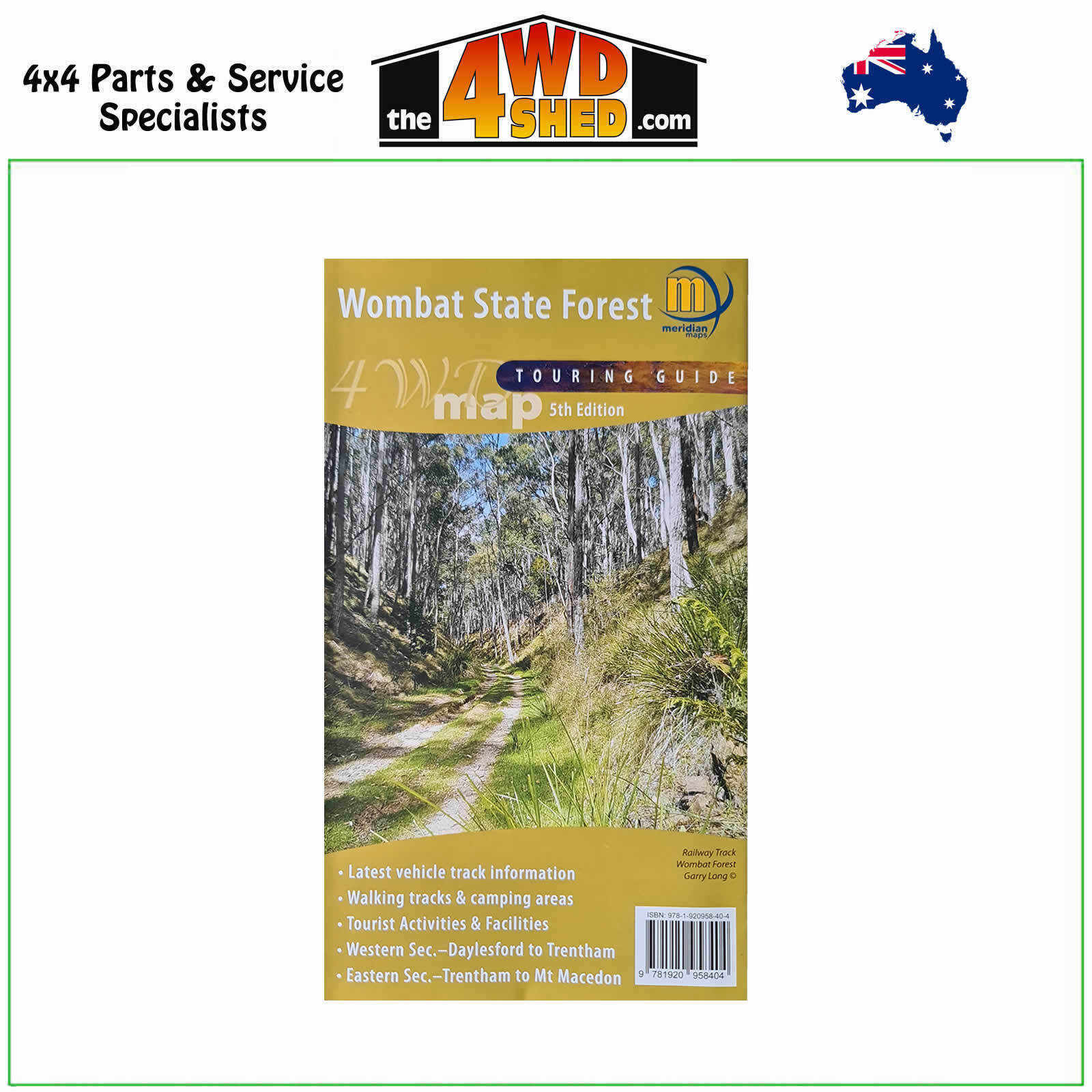
Wombat State Forest 4WD Touring Guide 1:50 000 Topographic Map

 More info
Wombat State Forest 4WD Touring Guide 1:50 000 Topographic Map
Fifth Edition 2021
Topographical Maps are used for Walking, 4WD, Fishing, Camping, Motorcycle, both On and Off Road, Gold Prospecting and for those simply going for a family weekend drive.
Though moving into an age of GPS & digital maps, paper maps provide a great back up & being more accessible for a group to plot a day out on the tracks.
Double-sided 1:50,000 scale map covering the entire Wombat State Forest from Daylesford through to Woodend and the Macedon Ranges.
Ideal 4 wheel drive map which highlights all the tourist activities and features of the region such the wineries, mines, mineral spas, picnic grounds and more. Includes the Great Dividing Trail and Wombat Forest Drive.
Ideal touring map for four wheel driving, holiday makers, bushwalkers and day trippers.
Map Features
- Scale 1:50 000
- Fifth Edition 2021
- Double sided
- Wombat State Forest
- Hepburn & Macedon Regional Parks
- Detailed facility information
- Easy to read design
- Highlights Goldfields Tracks & Wombat Forest Drive
- Map size 750mm(H) x700mm(W) flat
Please Note: These maps are provided as a guide only. You are responsible for being aware of track closures, changes to track accessibility & access guides. Please visit the Parks Victoria website to check before planning your next journey.
ISBN: 9781920958404
(9781920958404)
| SKU | 9781920958404 |
| Barcode # | 97820958237 |
| Brand | Meridian Maps |
| Shipping Weight | 0.1000kg |


