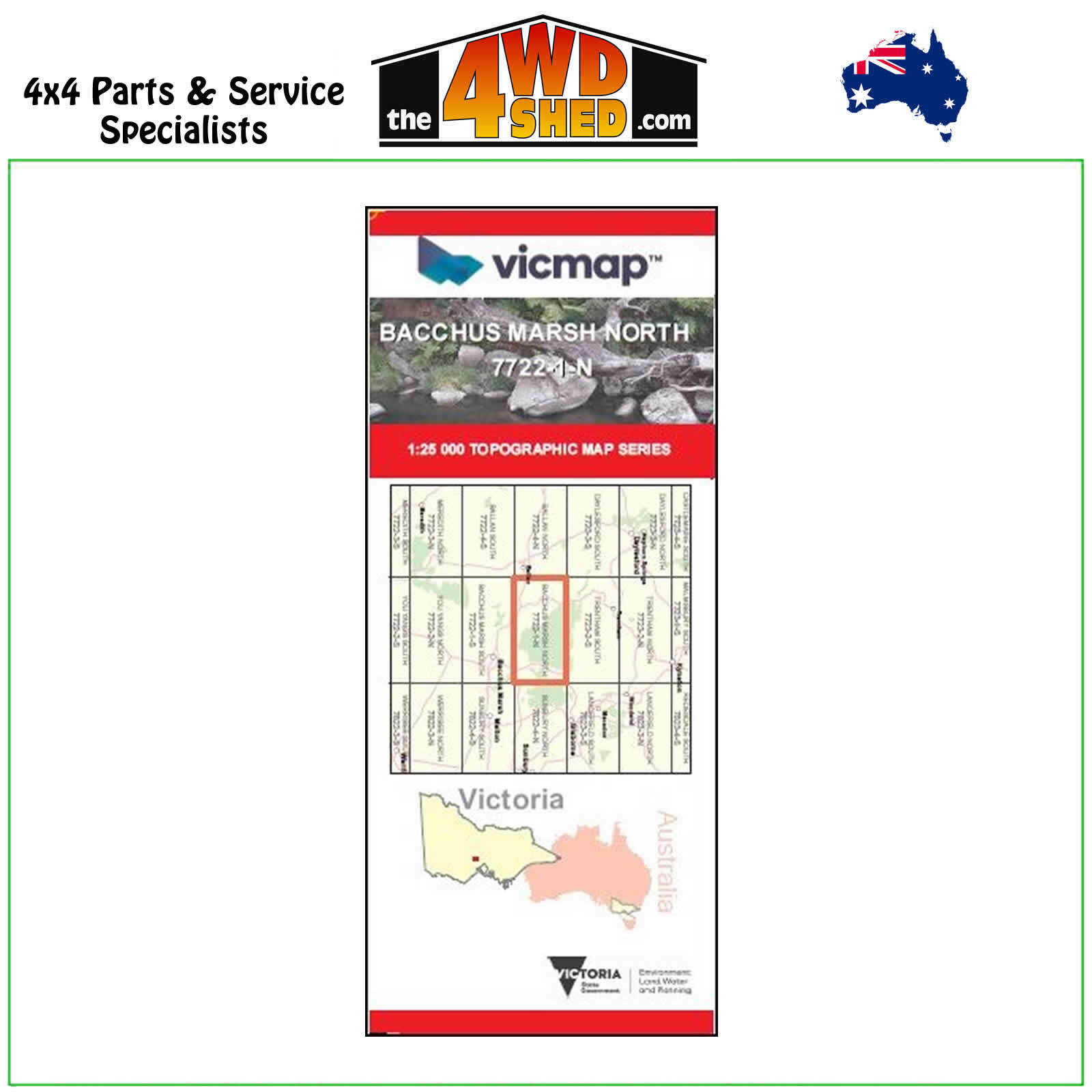
Bacchus Marsh North VicMap 1:25 000 Topographic Map Series

 More info
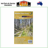
Bacchus Marsh North Topographical Map 1:25 000
Topographical Maps are used for Walking, 4WD, Fishing, Camping, Motorcycle, both On and Off Road, Gold Prospecting and for those simply going for a family weekend drive.
Though moving into an age of GPS & digital maps, paper maps provide a great back up & being more accessible for a group to plot a day out on the tracks.
This is a new series of 1-25,000 scale maps, all of Victoria is now covered by these maps, including maps over the South Australian and NSW Borders.
Topographical maps show not only Contours of the Terrain but Walking Tracks, Sealed and Unsealed Roads, Rivers, Creeks, Lakes, Historical Points of Interest, Old Mine Sites and National and State Park areas.
Map Features:
Cover the old series 1-25,000 maps Greendale and Bullengarook
Part of the Wombat SF, Korobeit, Myrniong, Greendale, Craig Hill, German Track, Coimadai, Green Hills, Whisky Gully, Nolan Gully, Lerderderg Gorge, Bluegum Hogan Link Track, mbtg, Scotties Gully Track, Mount Bullengarook, Cataract Creek, Cataract Falls, Middle Gully, Watties Track, Spanish Onion Track, The East Walk, Vodka Track, Rum Track, Upsall Hill, part of the Great Dividing Track, Golden Creek Falls, Champagne Track, mbtg, Dales Creek, part of Wombat SF, Garibaldi Hill, Lowes Hill, Square Bottle Track, Strachan Hill, Pyrete Range Reference Area, West Number 2 Track, Mount Blackwood Fire Lookout, Razorback Track, Greendale Hill, mbtg, Korweinguboora Creek, Pykes Hill, Ah Kows Gully Reference Area, Grassy Gully Track, Lerderderg River, Bears Head Range, Long Point, West Number 5 Track, Lerderderg Four Wheel Drive Training Area, Blackwood Range, Korjamnunnip Creek, Mount Gorong, mbtg, Ballan, Pykes Creek Reservoir, Myrniong Creek, Link Number 1 Track, Grahams Dam, Merrimu Reservoir, Werribee River.
Please Note: These maps are provided as a guide only. You are responsible for being aware of track closures, changes to track accessibility & access guides. Please visit the Parks Victoria website to check before planning your next journey.
(7722-1-N)
| SKU | 7722-1-N |
| Barcode # | 9781742088884 |
| Brand | Vicmap |
| Shipping Weight | 0.1000kg |


