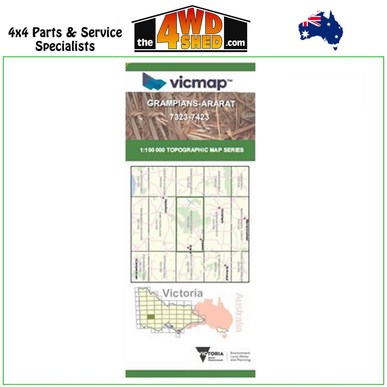


Grampians Ararat VicMap 1:100 000 Topographic Map Series 7323-7423

 More info
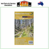
Grampians Ararat 7323-7423 Topographical Map 1:100 000
Topographical Maps are used for Walking, 4WD, Fishing, Camping, Motorcycle, both On and Off Road, Gold Prospecting and for those simply going for a family weekend drive.
Though moving into an age of GPS & digital maps, paper maps provide a great back up & being more accessible for a group to plot a day out on the tracks.
This is 1:100 000 scale map, with enlargements of specific areas..
Topographical maps show not only contours of the terrain but walking tracks, sealed and unsealed roads, rivers, creeks, lakes, historical points of interest, old mine sites and National & State Park areas.
Map Features:
Ararat, Stawell, Halls Gap, Northern section of the Grampians, Mount Talbot, Black Range State Park, Mount Bepcha, Rocklands Reservoir, Mooralla, MOUNT MACKERSEY, Woohlpooer, Victoria Range, Mount Thackerey, Glenisla Crossing, Cherrypool, Brimpaen, Wartook, MOUNT GAR, Mount Difficult, Mount Drummond, Mount Dryden, Lake Lonsdale, Heatherlie, Mockpilly, Lake Fyans, Pomonal, MOUNT CASSEL / MOUNT DIDJUN, Mount William, Major Mitchell Plateau Remote and Natural Area, Watgania, Lake Muirhead, Moyston, Great Western, Mount Ararat, MOUNT MOORNAMBOOL, Maroona, Rossbridge, Joel Joel
Please Note: These maps are provided as a guide only. You are responsible for being aware of track closures, changes to track accessibility & access guides. Please visit the Parks Victoria website to check before planning your next journey.
ISBN: 1-74287-026-0
(7323-7423)
| SKU | 7323-7423 |
| Model # | 7723-7823 |
| Barcode # | 9781742870267 |
| Brand | Vicmap |
| Shipping Weight | 0.1000kg |


